


June 2, 2023: 9 miles, 8.1 miles official BST. Trailforks Hike Log
[Oops, I didn’t write this up immediately!] We started Season 3 with a beautiful hike above Ogden. This is one of the oldest long stretches of the BST (early 2000s) that was actually designed and built, rather than just designating an existing utility road.
We started right where we finished Episode 23 at the Weber River (flowing very high but no longer flooding), the boundary between Davis and Weber County. There we met with Geoff Ellis, a landscape architect and past executive director of Trails Foundation Northern Utah (TFNU, formerly Weber Pathways), the very successful trails non-profit organization that has guided the construction of dozens of miles of trails in this county. Currently, Geoff is working with TFNU as the project manager for extending the Weber River Parkway into this area. Lately he has been successful at securing funding from several sources to build a bridge over the river and complete the parkway as a gravel trail to the mouth of the canyon. He showed us another project they’ve been working on in this area known as Blackner’s Bend, where they have purchased 40 acres of undevelopable land between the river and the freeway, and have re-naturalized the stream channel to make it less channelized, prettier, more resilient to flooding, and much better habitat for native fish. Their work here is ongoing, but with the record high water we’ve had this spring, it was clear that it was achieving at least one of its purposes.
In Episode 23, I discussed the unique challenges of crossing Weber Canyon that led TFNU to route the trail down here to the river and through the cities. Geoff (who was heavily involved in this process) and I further discussed this as we climbed the connector trail from the town of Uintah up to South Weber on the bench. After crossing under the railroad tracks, much of this trail follows the original dugway along which the pioneer-era wagon road, then Highway 89, climbed the bench until the current highway was built in the 1950s. Even though it is sandwiched between two cities, it is surprisingly natural and pretty; TFNU did a great job with this trail. At the top, the trailhead is in the parking lot of Washington Heights Church, who has graciously allowed the trail to pass through their property.
From their, the stopgap connection continues along a paved tunnel under Highway 89, then follows Skyline Drive up into the foothills. TFNU has worked with South Ogden City to make this street more friendly to bikes and pedestrians. At least a few stretches now have dedicated bike lanes. This connection is a priority for TFNU not only for the BST, but also because it forms a leg of the Centennial Loop, a loop trail connecting the BST, the Ogden River Parkway, and the Weber River Parkway that was the driving vision for Weber Pathways in the early years, and is now mostly complete.
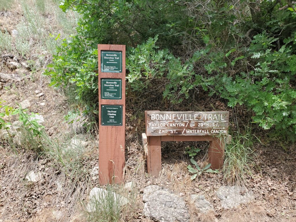
The real BST starts again in Beus Canyon, climbing about 800 feet along (yet another) pretty creek. It was all downhill from there. Literally. From where we turned out of Beus Canyon (5,600ft elevation), we were almost always going downhill, to the Rainbow Gardens Trailhead 1,200 feet lower on the Ogden River. I’m glad we went north, and I feel for everyone who travels it going south. This trail passes through a mix of National Forest, city and private land, but it is consistently well-signed and well-built. A big surprise for me was that even though it was built in the early 2000s, none of it was old utility/firebreak road, like a lot of the BST from this era that we have traversed. Instead it was all singletrack, mostly conforming to modern trail standards. I was impressed. Deserving a shout-out is the TR Guest Ranch, who owns a large parcel in the middle of this segment, including the Waterfall Canyon Trail; they are a great example of not only allowing public access across their property, but making several trail improvements such as nice benches at viewpoints. They have also done a good job of hiding their commercial developments, such as zip lines and “via ferrata” climbing routes. Speaking of which, this stretch has a number of climbing and bouldering areas that you would never notice from the city below. And of course, several more pretty little creeks!
Another benefactor is Rainbow Gardens, who allows a trailhead on their property as well as much of the trail descending off the bench at the end of today’s travel. All in all, this was an amazing hike; if all of the BST can be brought up to these standards, we will have a wonderful treasure.