The Utah Division of Outdoor Recreation has announced the 2023 round of Outdoor Recreation Grants! This was a record year for this important program, totaling over $16 million in 90 projects. Among these are several that are directly related to the Bonneville Shoreline Trail:
Provo City: $750,000 for improving the Rock Canyon Trailhead Park, a crucial access point for the BST
Lehi City: $175,000 for building more trails on Traverse Mountain, which could include a shorter BST connection than the current Sensei-Momentum-Traverse Traverse
Trails Foundation of Northern Utah: $200,000 for building a bridge over the Weber River near I-84 and connecting trails that will do double duty as the BST and the Weber River Parkway
Springville City: $200,000 for building a new bike park in Spring Canyon that will include a new trailhead and access trails for the BST
Farmington City: $1,000,000 for reconstructing the trail along Farmington Creek, and oh by the way, connecting it to the BST
These are important projects that will improve the BST and its accessibility, and we look forward to seeing them under construction over the next couple years!
Last week the big news in Washington was the $1.7 Trillion omnibus appropriations law that was passed at the last second to avoid a government shutdown. There were lots of explainers that listed the major elements of the bill, but the most important part to a few of us was never mentioned. The Bonneville Shoreline Trail Advancement Act (BSTAA), introduced by Utah’s senators and congressmen in both of the last two sessions, was buried in it as Section 303, and thus was passed along with the rest! This bill had passed the House in September, and was on the docket for a last minute Senate vote with likely not enough time to get to it, and then suddenly, it was law.
So what exactly has happened with its passage? When Congressman Curtis and Senator Romney first introduced it in 2017, then reintroduced it in 2021, news coverage often sounded like its passage would suddenly make the BST finished. That is not at all the case. It does not include any funding, it is not a “land grab” of private property, it is not the privatization of public land, nor does it authorize any construction. In fact, there is nothing about trails in the bill at all; it is really just a boundary adjustment for existing federal public land.
In several places, the planned route for the Bonneville Shoreline Trail crossed into designated federal Wilderness Areas within Uinta-Wasatch-Cache National Forest. These were first created in 1984, when houses were much further from the Forest, and they did not worry about the exact boundaries very much. While trails are allowed in wilderness areas under the 1964 Wilderness Act, mechanized vehicles (including mountain bikes) are prohibited. This is in conflict with our vision of the BST as a multi-use trail over its entire length. Also, most of these areas are now in people’s back yards, and don’t really have the “wilderness character” that was the original intent of the law.
The BSTAA removes about 300 acres from the Lone Peak, Twin Peaks, and Mt. Olympus Wilderness Areas in about a dozen places to make the BST route part of the “normal” National Forest, then adds the same amount to Mt. Olympus Wilderness in Millcreek Canyon, a parcel recently acquired from the Boy Scouts of America with much more “wilderness character” than the parcels being removed. This enables near-term action in several places:
On the south face of Mt. Olympus above Holladay, a 1.5 mile section of BST built in 2019 as a pedestrian-only trail can be opened to bikes, although it may require some trail improvements (see Episode 14 of State of the BST, where we discuss the BSTAA with John Knoblock).
On the south side of Big Cottonwood Canyon, a 1 mile section of BST that is currently under construction (see Episode 13 of State of the BST) can be completed and opened to mountain bikes.
On the south side of Little Cottonwood Canyon, a 1 mile trail can now be built to connect the Bells Canyon trail system to the park-and-ride lot at the mouth of the canyon (see the end of Episode 12).
In Alpine, a 3-mile stretch of popular social trail, coincidentally known to the locals as the “LPW” (for Lone Peak Wilderness), can be made legal and officially designated as part of the Bonneville Shoreline Trail (see Episode 7, where we also discuss the BSTAA).
One roadblock is removed for several future stretches of the BST, including in Millcreek Canyon, Neffs Canyon, Cottonwood Heights, and Sandy, but these segments are not likely to be built immediately because they also cross private property, although separate negotiations are progressing with landowners in some of these areas.
The law also includes a wilderness boundary adjustment in Birch Canyon above Smithfield in Cache County, but this is not part of the BST.
None of these actions is immediate, as each of them will need to go through the standard federal approval process under the National Environmental Protection Act of 1970 (NEPA), but the Forest Service is supportive of these actions, which have been part of its long range plans, and approval is likely to be swift.
Bountiful: $500,000 for its Trails Master Plan, including BST construction
Alpine: $77,000 to build a short paved connector between Lambert Park and the Three Falls area
Millcreek: $50,000 to build a 2 miles of BST on the face of Grandeur Peak, connecting Millcreek Canyon to Parley’s Canyon
Layton: $150,000 to reconstruct the Adams Canyon Trailhead, an important access to the BST
Cache County: $135,000 to build a trailhead at Deep Canyon, which will eventually provide access to the BST on the west side of the valley
Orem/Lindon/Pleasant Grove: $51,000 for various trail improvements, including signing several miles of recently designated BST
Weber County: $76,000 for reconstructing older sections of the BST to modern standards
Springville: $5,000 for expanding a trail system at the mouth of Hobble Creek, including a recently-designated segment of the BST
This is on top of BST-related awards in 2021 to Fruit Heights, Cottonwood Heights, Lehi, and North Logan. Thank you UOR for your commitment to this important regional trail!
It’s finally time to kick off season 2! For our first episode (#8 overall), we took a bit of a detour into Juab County to check out the prospects for the BST extending to Nephi some day.
A couple fun short hikes through the Santaquin State Wildlife Management Area, including finding a beautiful canyon hiding in plain sight. That said, the prospects for the BST here probably aren’t great.
We hope you enjoy the shorter format. Our goal thos year is to release a 10 minute episode every couple weeks.
Well, it took us a while as Spencer started a new job, but we have finally released Episode 7, hours before the end of 2021. This one rounds out Utah County, from Pleasant Grove to Lehi. It took us a bit longer to hike than we originally planned, and the video is a little longer than usual, because we found some additional unofficial trail we were able to use to almost connect this area. The northern cities (Alpine, Highland, Lehi, Draper) are currently working on a strategy for officially connecting the BST through this area, but there are some big obstacles at the moment.
This episode includes a great interview with my friend (and former student) Brandon Stocksdale, of the Rivers, Trails, and Conservation Assistance Program of the National Park Service. This little-known “non-Park” office of the NPS has been invaluable in Utah in getting stakeholders together to plan and build trails, including many sections of the BST. “The other” Brandon was instrumental in getting my own organization, the Utah Valley Trails Alliance, going.
While the documentary is on hiatus (yes, we are still working on the production of Episode 7), I have been following up on some of the unfinished business along the trail in Utah County.
Dry Canyon, Lindon, October 30
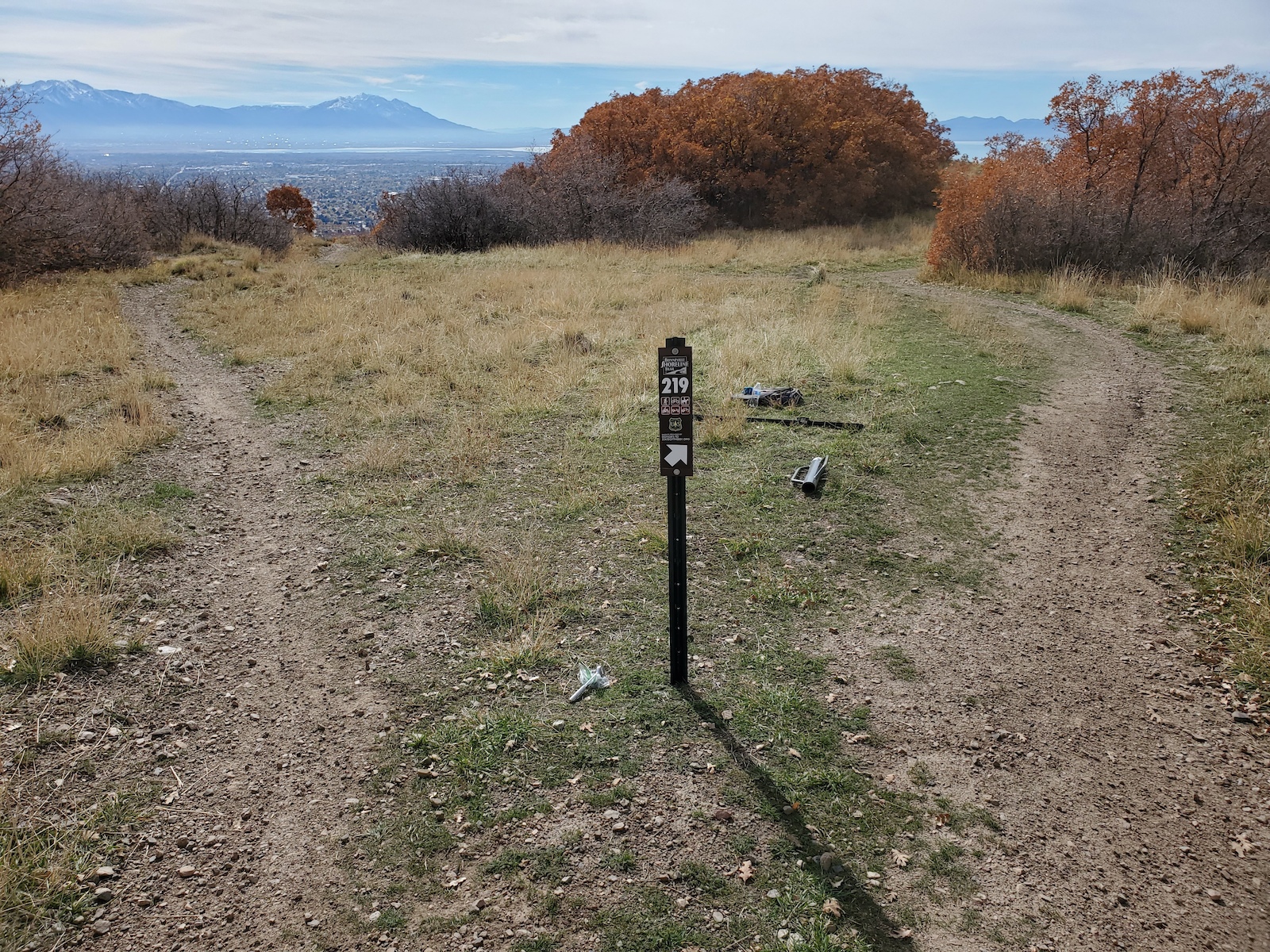
The BST has been established here for a long time (see Episode 6), but it has not been signed well, and the area is a maze of trails, many of which we are finalizing as newly authorized trails. As my part of the signing effort for the new trail network, I installed 5 new signs (thanks donors!) at junctions of the new trails with the BST, especially where it is confusing which way the BST is. The adopters of those trails will be installing the corresponding plates soon. I have also been working with the new trail adopters, Utah DWR, Lindon City, and the Forest Service on some large maps to post at the kiosks at the Dry Canyon trailhead, hopefully to be installed soon!
Slate Canyon, Provo
At the end of Episode 4, we passed through a gravel pit in southern Provo. At the time, it was private property, through which the City was trying to negotiate a trail corridor with the developer. In July, the city announced that they were purchasing the entire 29 acres outright! This enabled us to immediately determine and designate an official BST route with very little red tape. The gravel pit is a real maze, and some remaining private parcels make some routes infeasible (including the one we hiked on air), but some of us from the Utah Valley Trails Alliance were able to work with Provo Parks & Recreation in September to map out an existing route that will work quite well. On November 11 and 12, I installed 9 new signs (thanks donors!) to navigate trail users through the maze. It could probably use a couple more. Next we will be seeking some larger funding to make some improvements in a couple bad spots, and soon Provo will begin the process of creating a master plan for the 180 acres they now own at the mouth of the canyon. It will be exciting!
A great conversation with Mayor Michelle Kaufusi and Councilman George Handley about how and why cities support trails like the BST, and their plans for future development of the trail and associated trailheads.
A great drone shot of the Y trail.
A few more signs provided by our donors (including a dud).
It’s been a few weeks, but we just released Episode 4, including our travels from Hobble Creek, through Springville, to Slate Canyon. As always, we couldn’t include everything we saw along the way, but highlights include:
An interview with Chris Morrill, who is spearheading the effort to extend the trail through the Hobble Creek Wildlife Management Area.
Installing 5 new signs at some confusing intersections, thanks to our generous donors
An interview with Laurie Weisler, who has graciously allowed the BST to pass through her backyard.
Exploration of the industrial history of South Provo and North Springville, including the limekilns and Columbia Steel
A visit with the folks at Conserve Utah Valley during one of their very successful service projects in Slate Canyon.
At long last, we’ve completed Episode 3: Spanish Fork and Mapleton. Spencer had a tough job editing it down to a reasonable length; I was too eager to talk about this stretch closest to our own home. Maybe one day we’ll release the Director’s Cut! 🙂
The highlight for me was a great conversation with Dr. Jack Oviatt, the world’s leading expert on the history of Lake Bonneville. We talk about the origins of the cross that overlooks Spanish Fork, and how Mapleton has acquired so much land along the BST. My 5 minute speech on the legend of Gibby vs. Mapleton got shortened to 25 seconds, but that’s probably for the best.
On to Springville and Provo! Episode 4 will feature interviews with citizens who are working to improve and extend the trail, and landowners who have allowed the trail to pass through their property.
Your generous donations at work! Our initial project is to install several signs in Utah County. We have received permission from Uinta-Wasatch-Cache National Forest to install signs on some confusing stretches of the trail on US Forest Service property. These first two were installed Thursday near the Dry Canyon trailhead in Lindon. We are using an experimental all-steel sign design that is not quite as natural looking as wood posts, but is significantly less expensive and so far, appears to be more durable and more difficult for vandals to remove (and much cheaper to replace if they do). Your donation of $25 pays for one of these signs, as well as about 15 seconds of one of our documentary episodes.
Next up, as part of Episode 4 in Springville and South Provo, which currently has several markers in good shape, we will be installing a couple more at some turns.