April 30 2022, 7.5 miles, all official(ish) BST. Hike Log in Trailforks.
At the end of Season 1 (Episode 7), we started the beginning of the Sensei Trail, but decided to call Utah County done and skip ahead to Draper. I knew that a connecting trail had been completed in 2021 over the ridge, but only found out after filming that Lehi and Draper are considering designating it as a temporary official BST connection, so we decided to give it a try.
Lehi City has been proactive in acquiring the unbuildable highlands of the Traverse Mountains from developers, creating (along with Draper City) a permanently conserved area of at least 7 square miles. Working with the Traverse Mountain Trails Association (TMTA), the city is building an impressive trails network in the foothills here. While the process has been largely driven by the mountain biking community, and the trail design shows that emphasis, these trails are also popular with hikers and trail runners. A combination of the Sensei Trail (completed in 2018), Mo-mentum (2020), Tráverse Travérse (2021), and Ann’s Trail can be used to connect Lehi to Draper, with its extensive trails network including the BST (which we’ll explore in Episode 10).
Since we had already hiked part of Sensei last year, we cheated a bit and started in the middle, at the top of Fox Canyon Road. A new phase of the Hidden Canyon/Canyon Point development is actively being built up the canyon, so this access is officially closed to the public. However, they are in the final phases of the project, butting up against public property, and the approved plan includes a trailhead about where Sensei Trail crosses the old road.
Unlike a lot of the older trails above the Wasatch Front, these trails are being designed and built very carefully, with an emphasis on having very gentle grades despite the rugged terrain. The advantage of this is that we climbed more than 600ft to the summit and hardly ever noticed we were going uphill. The disadvantage is that the trails have to go around every little ravine and ridge, creating an extremely circuitous route. We could have taken less than a mile following an old (very steep) trail straight up the canyon to the summit, and instead it took us 4.5 miles (including a shortcut that saved an additional mile). Perhaps future trails in the network will provide a more efficient route to the top with a balance of grade and distance (please?).

The Draper side of the traverse is a much greater elevation gain (1,000ft to the Oak Hollow Trailhead, the nearest access), and generally steeper, so I’m glad we were going down it. The climb is mitigated somewhat by being on the north slope with lots of shady oak, and a multitude of switchbacks (at least 20) to temper the grade. We encountered a lot more traffic on this side, especially mountain bikes.
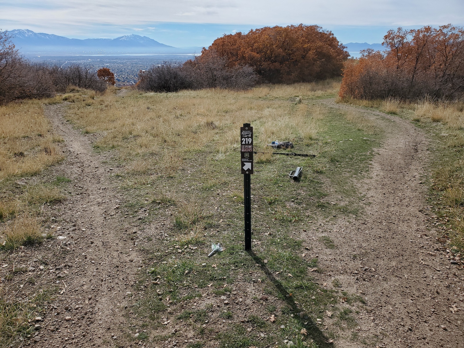
So what is the “state of this BST?” For having to climb over this ridge, this was actually an enjoyable hike. Maybe it was just the great weather, but it did not seem at all difficult, and the views of both valleys, as well as Lone Peak, were awesome. I would fully support this being a connecting route for the Bonneville Shoreline Trail for the time being.